Best Boondocking Maps and Apps for Dispersed and Off-Grid Camping
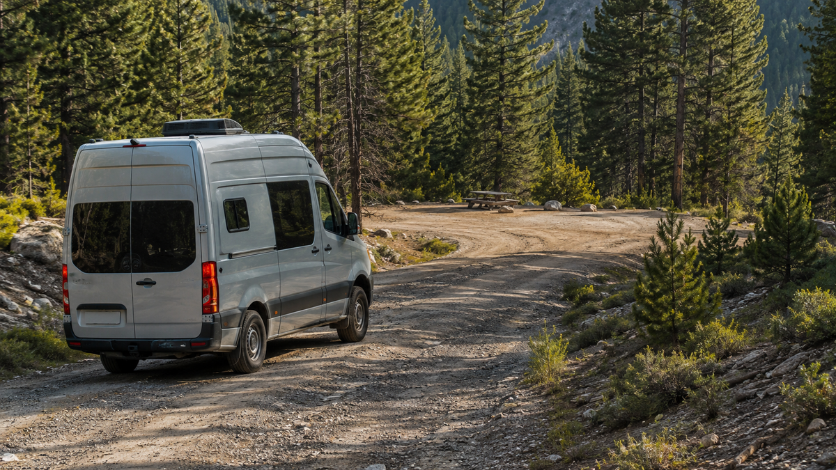
Boondocking means camping without hookups in undeveloped settings. Most commonly that means public land managed by the Bureau of Land Management or the US Forest Service. No single app does everything. Experienced boondockers combine a community campsite database with a public-land boundary tool and official resources from the managing agency. The workflow that works best for boondocking maps is straightforward. Discover a site, cross-check land ownership, verify current rules, evaluate van access, and navigate in with offline maps downloaded before you lose signal.
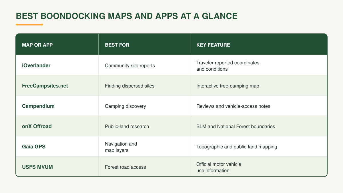
Best Boondocking Maps and Apps at a Glance
Overnight camping rules vary by land management agency, location, and current conditions. Check the relevant land authority before any boondocking trip.
How to Use Boondocking Maps to Find a Campsite
1. Discover Potential Camping Areas
Start with a community database such as iOverlander, FreeCampsites.net, or Campendium. Look for sites with recent reports, photos, coordinates, vehicle-access notes, and cell coverage information. Older reports may not reflect current conditions or access restrictions.
2. Check Who Manages the Land
Use onX Offroad or Gaia GPS to cross-reference any candidate site against public-land boundaries. Confirm the site falls within BLM, National Forest, or other managed public land and not on private property. Public land access varies significantly by state and region. A campsite marker in a database is not confirmation that camping is permitted at that specific location.
3. Verify Current Rules and Permissions
Contact the relevant field office before traveling to a new area. BLM and US Forest Service districts manage their own regulations, which can differ from what community databases show. For National Forest travel, Motor Vehicle Use Maps (MVUMs) show which forest roads are open to motorized vehicles. MVUM data is available free from the USFS and is worth downloading for any planned forest road drive.
Check Whether Your Van Can Actually Reach the Site
A site appearing on a boondocking map does not mean every vehicle can reach it. Before driving toward a remote campsite, evaluate these factors.
Road surface (paved, gravel, unmaintained dirt, or washed out)
Ground clearance required
Road width and turnaround space available
Grades and switchbacks
Distance from the last paved road or services
Cell coverage along the route
Recent weather and seasonal closures
Arriving in daylight is one of the most consistent recommendations from experienced boondockers. It lets you evaluate the site before committing, check the surface, confirm the turnaround, and spot hazards before dark. Always have a backup location identified before departure.
A camper van navigates differently from a lifted 4x4. Larger RVs face stricter turning radius and clearance constraints. Reports from other camper van travelers carry more weight than reports from overlanding trucks or towable RVs.
Download Maps Before Going Off-Grid
Remote boondocking areas often have no cell service. An app that requires a data connection for navigation is not reliable in these conditions.
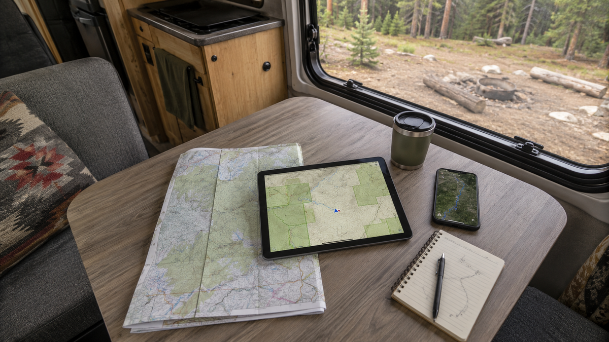
Pre-trip map downloads are essential for remote travel. Most major mapping apps support offline downloads, but the extent of offline capability varies by app and subscription tier. Steps worth taking before any remote trip:
Download the relevant map tiles for the full route and destination area
Save site coordinates as waypoints
Save at least one backup campsite
Note the nearest gas, water, and any land-management contact information
Check the route while still in service
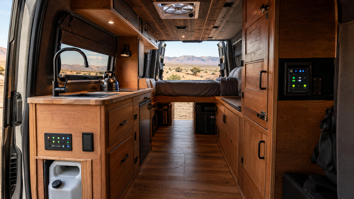
A Boondocking-Ready Van Makes Off-Grid Travel Easier
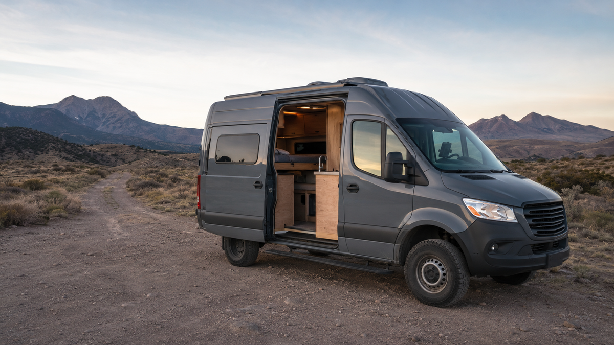
Finding a boondocking site on a map is the first step. How comfortably and reliably you stay there depends on the van.
Off-grid solar capacity determines how long you can run a fridge, lights, charging, and a fan without driving or plugging in. In full boondocking conditions with no hookups and no alternator charging, a properly sized solar system and battery bank make multi-night stays practical.
Insulation and ventilation quality determine how well the van handles the temperature swings that come with remote camping. Arizona desert nights get cold. Nevada high desert middays get hot. A van built for varied off-grid conditions handles both without relying on appliances to compensate for a poorly designed shell.
Mango Vans designs and builds custom Sprinter, Transit, and ProMaster conversions out of South Florida. Ongoing maintenance of van systems including electrical, water, and ventilation keeps them running reliably across remote travel. See the completed builds gallery to see how electrical and off-grid systems are specified and integrated.
Frequently Asked Questions
What is the best map for boondocking?
There is no single best map. Discovery databases like Campendium and iOverlander help find sites. onX Offroad and Gaia GPS identify public-land boundaries. USFS MVUMs show forest road access. Most experienced boondockers use a combination.
What is the best free app for boondocking?
FreeCampsites.net and iOverlander both have significant free functionality. Verify current free-tier features before relying on any specific app, as offerings change.
How do I find dispersed camping sites?
Start with a community campsite database to discover potential locations. Cross-reference land ownership using a public-land boundary tool. Then verify current camping rules with the relevant land management agency.
How do I find BLM camping areas?
Use onX Offroad or Gaia GPS to identify BLM-managed land. Check BLM.gov or call the relevant field office to confirm dispersed camping is permitted and learn current restrictions.
What is a dispersed camping map?
A map or tool that identifies public land where dispersed camping may be permitted, including BLM and National Forest areas. These identify potential locations but do not confirm current rules or access.
What states have the most BLM land for boondocking?
Nevada, Utah, California, Arizona, Oregon, and Idaho all have extensive BLM acreage. Access and rules vary by district. Nevada has the highest proportion of BLM-managed land of any state.
Can Google Maps find boondocking sites?
Google Maps helps with navigation and basic geography but does not show public-land boundaries or community-reported campsites. Dedicated boondocking tools provide information Google Maps does not.
Can every camper van access every boondocking site?
No. Road conditions, vehicle clearance, road width, and terrain vary significantly. Always evaluate site-specific access reports from vehicles with similar dimensions before driving in.
Do boondocking apps work without cell service?
Some offer offline functionality, but the extent varies by app and subscription. Download maps and save coordinates before leaving cellular coverage.
What should a camper van have for boondocking?
Sufficient solar and battery capacity, water storage, ventilation and insulation, refrigeration, and a layout that functions without hookup access. Boondocking maps help you find the sites. The van determines how long you can stay.